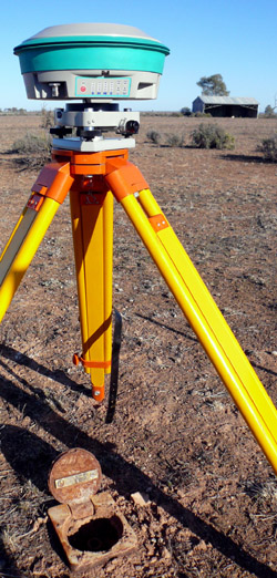
- Highest-precision GNSS (GPS)
- Datum establishment
- Geodetic Control Surveys
- Rural Cadastral Control
- Airborne Laser Scanning
(LiDAR) Ground Control
- Air Photo Ground Control
- Plane Grid Establishment
- Bringing MGA into your project
- Height datum establishment
(e.g. Mean Sea Level, LAT)
- Tectonic Deformation Monitoring
- Geodetic Datum design
- Transformation Parameter Estimation
- Geoid modelling
- Deformation modelling
- GNSS Post-processing
- Validation and Quality Assessment
- Ground truthing of ALS/Aerial surveys
- Auditing of survey networks
- Error isolation
- Survey Quality Assessment
- Training and Geodetic Support
- on-site GNSS/GPS Training
- Geodetic Support for GIS
- Geodesy advisory service
- Problem solving
For further information, email
surveys@quickclose.com.au
phone +61 (0)3 9486 7845
PO Box 1364
Carlton VIC 3053
AUSTRALIA
ACN 133 784 308
ABN 16 133 784 308
|