|
|
|
|
|
|
Photo Gallery
Papua New Guinea
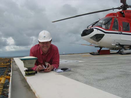
Nogoli Helipad
On a narrow ridge above Iagifu

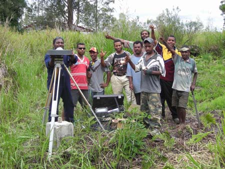
Suabi Clansmen and new mark at Juha
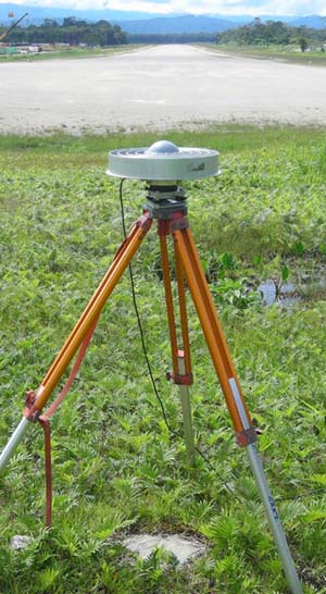
Moro Airstrip
Iagifu
Old Survey Station at Komo
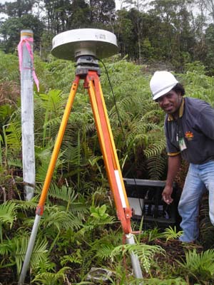
Validating Rig locations
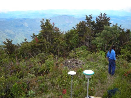
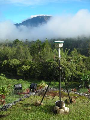
Overlooking Hides at 2700m
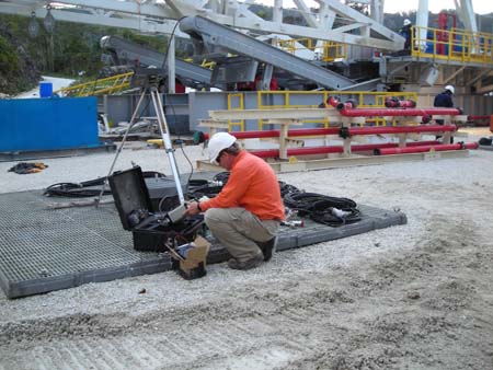
Low setup! on Kumul Off-shore rig helipad
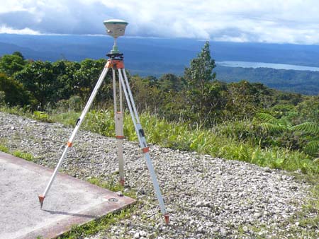
Overlooking Lake Kutubu
Australia
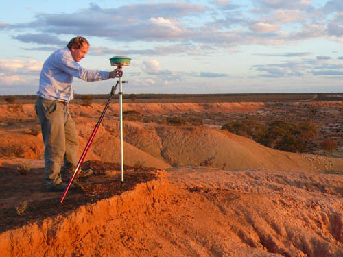
Measuring elevations of geological formations on the Darling River Anabranch
LiDAR ground truthing, Western NSW
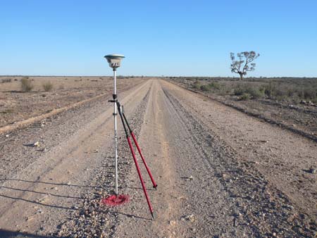
Somewhere in the Darling Basin
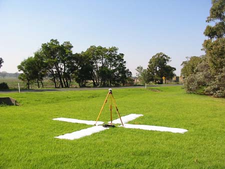
Air Photo control, Gippsland
Coal Connect survey in Central Queensland
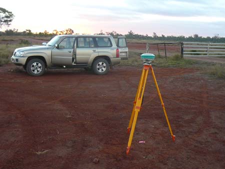
GPS Base station at Mt. Murchison Station near Wilcannia
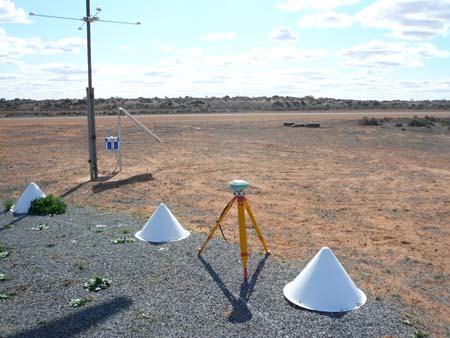
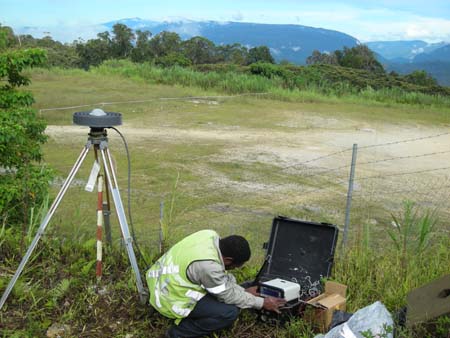
GPS Base station at Menindee Airport
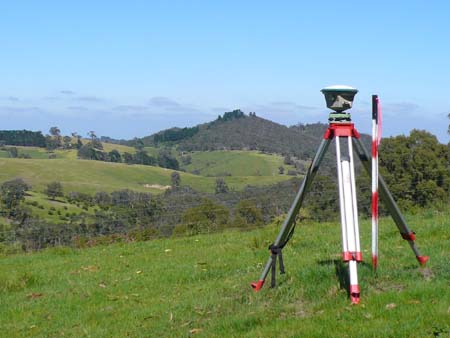
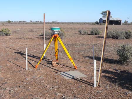
Rural Cadastral control at St. Andrews, north of Melbourne
| | |
|
Last Updated 5th January 2009
|
|
| | | |
|
Copyright 2009 Quickclose Pty. Ltd. ACN 133 784 308 All Rights Reserved
|
| |

